
A global leader in applications of drones for high definition magnetic surveys and shallow EM.
Enhancing geological understanding through drone-enabled surface and subsurface mapping. ESG-friendly.
geoDRONEology
“Using drones to map geology including detecting and delineating buried objects. Specializing in flying at ultra-low altitude (16 centimeters to 5 meters AGS) and low altitude (5 meters to 30 meters AGS).”
- Ron Bell (Founder; The only living geoDRONEologist on planet Earth)
Drone Geoscience uses UAV-enabled physics to image the surface (i.e. remote sensing) and the subsurface (i.e. geophysics) to inform about soil, rock, and objects buried within the earth.
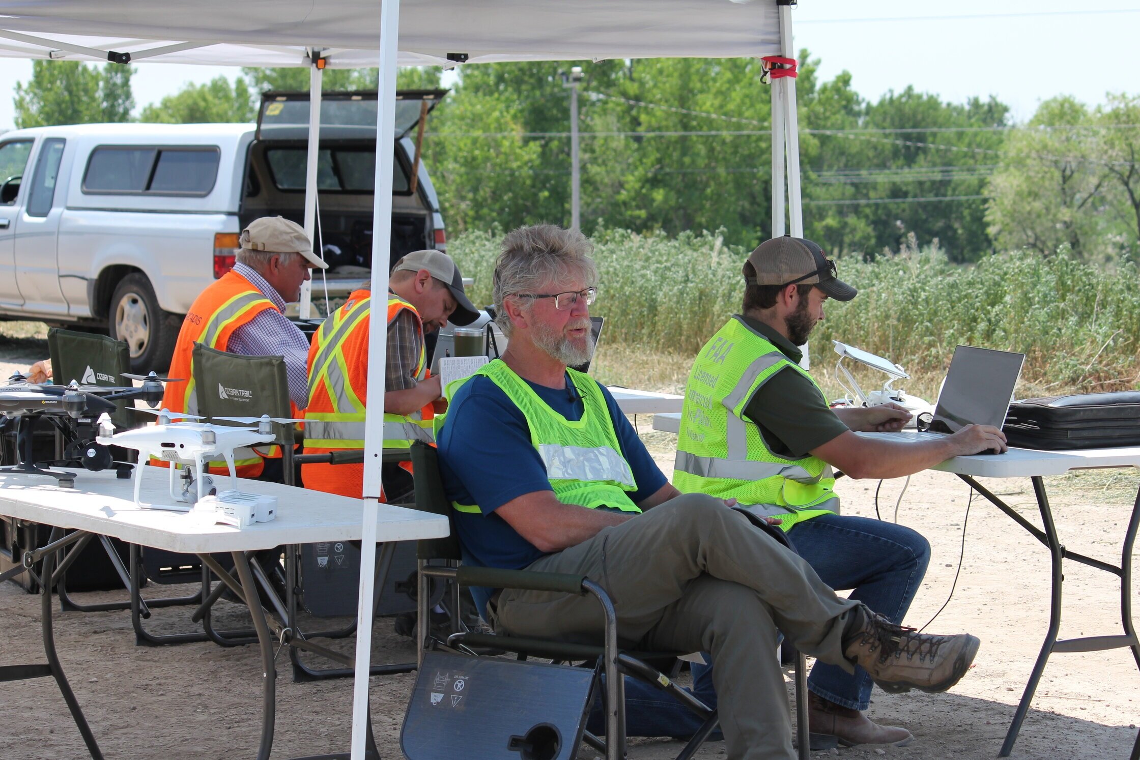
Decades of Experience in Geophysics, Geological Interpretation and Drone Technology
More than three (3) decades of experience in the acquisition, processing, visualization and interpretation of magnetic data as well as a wide array of other geophysical data types including DC resistivity, Induced Polarization (IP), electromagnetic (EM), and seismic geophysical data for resource exploration (minerals, hydrocarbons, groundwater, & geothermal), environmental subsurface characterization, and buried infrastructure mapping.


Top Six Drone Geoscience Applications
#1 – Mapping environmental contamination
#2 – Topographic mapping and land surveying
#3 – Groundwater & mineral resource exploration
#4 – Detection and delineation of geohazards – sinkholes, landslides, etc.
#5 – Sub-surface mapping rock type, structure, and alteration
#6 – Detection and delineation of unexploded ordnance (UXO)
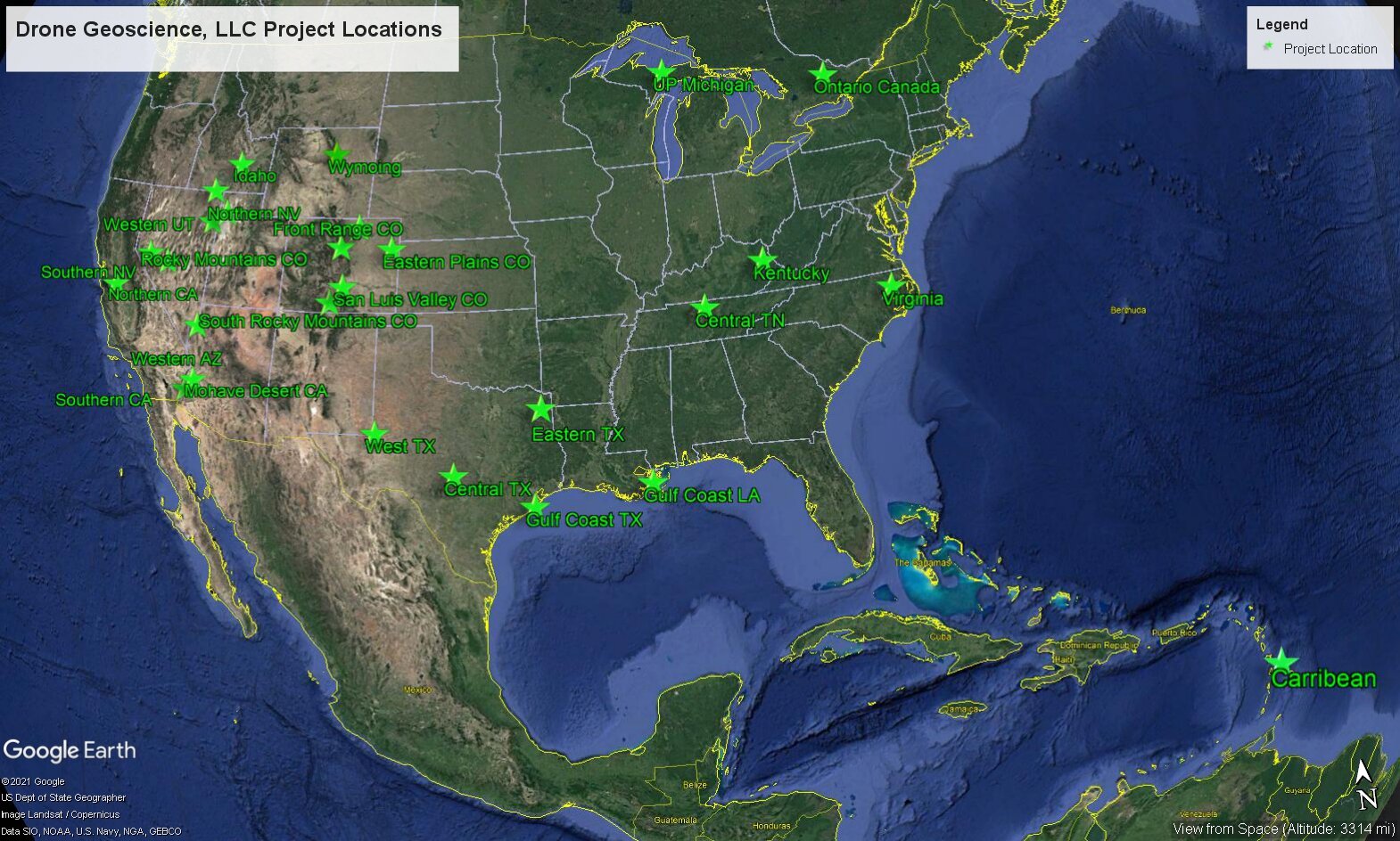
Global Projects
With extensive experience in drone field operations and geophysical data collection and analysis, Drone Geoscience has successfully worked across multiple regions in North America and the Carribean supporting various client markets.