
Applications
Locating Legacy Oil and Gas Wells
Thousands of abandoned oil & gas wells in North America are not located accurately. Regulatory agencies require the wells to be located prior to any land use or development.
Using the UAV Systems (specifically the magnetometer and electro-magnetic sensors), allows for improved detection of improperly located oil and gas wells.
Mineral Exploration
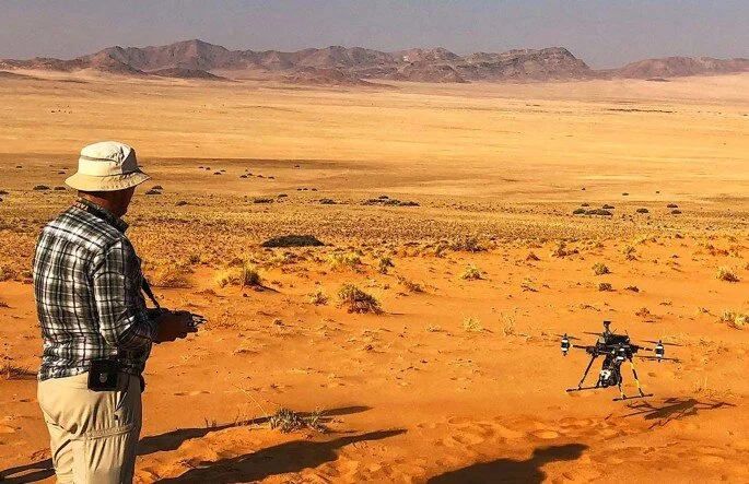
Drones are becoming important tools for mineral exploration by contributing to the safe, efficient and sustainable provision of the high-tech metals that are required by modern society. For example, drone-based hyperspectral imaging has been used to rapidly map rare-earth-element-rich minerals in Namibia. In addition, in Greenland, drone-based magnetic surveys were deployed to identify sub-surface ore potential at a fraction of the cost of traditional surveys. Drones have the potential to provide non-invasive and eco-friendly platforms from which the environmental impact of exploration and mining activities (such as soil erosion, acid mine drainage and vegetation stress) can be assessed.

Groundwater Resource Assessment
There is significant interest in the application of UAV Systems for hydrogeologic studies, especially groundwater/surface-water exchange studies.
Initial efforts are focusing on evaluation and demonstration of hydrogeologic data collection with natural color, multispectral, and thermal imaging sensors on a hex-copter. Longer term efforts include assessment of new and emerging geophysical sensors, such as ground-penetrating radar for bathymetry.
Mapping Buried Pipelines
Drone magnetic surveys for locating buried steel pipelines are significantly more challenging than well location surveys because the magnetic anomaly from buried pipelines is discontinuous and less intense than well-type magnetic anomalies.
Drone magnetic surveys can locate steel pipelines ≥ 2 in. diameter buried 1 m deep without a trace current if flown at altitudes of 10 m AGL or lower. Low-altitude flight brings the drone and sensor into potential conflict with ground-based objects, which limits drone pipeline mapping surveys to open areas without trees, overhead utilities, and buildings.

Hydrocarbon Exploration
Unmanned aerial vehicles (UAVs) or drones have become integral to the oil and gas (O&G) industry in recent years, owing to their increasing usability with advancements in technology.
Drone Geoscience is collaborating with oil and gas companies to develop data collection technology to obtain real-time insights.

Geologic Mapping
Drones flown at low altitude can capture surface and topographic information that has traditionally been acquired from Airborne LiDAR (Light Detection and Ranging) or TLS (Terrestrial Laser Scanning).
Airborne LiDAR surveys are best for large areas (more than 5 square miles), whereas low-altitude drone surveys are ideal for small to moderate-sized sites (less than 5 square miles). Drone surveys and image processing software can generate maps with similar accuracies and higher resolutions than many established photogrammetry (whereby measurements are made from photographs) techniques for a fraction of the cost.
Additionally, most drones are small, lightweight, and highly mobile, and thus are rapidly deployed to capture shortlived events (such as debris flows) or used for repeat photography of long-lived events (such as stream erosion). The combination of these factors is encouraging a growing number of geoscientists to add drones to their geologic toolboxes.
-

Drone Photogrammetry
Photogrammetry uses methods from many disciplines, including optics and projective geometry.
Digital image capturing and photogrammetric processing include several well-defined stages, which allow the generation of 2D or 3D digital models of the object as an end product.
-

Methane Gas Detection
Hydrocarbon gas leaks can be difficult to detect, expensive to reconcile, wasteful, and destructive to the environment. Thermal imaging technology is an invaluable tool for companies committed to solving these problems.
-

LiDAR
LiDAR is a method for determining ranges by targeting an object with a laser and measuring the time for the reflected light to return to the receiver